
Monsoon or Nonsoon? The Top End’s missing rains
Date Published
5/02/2025
For further information, please contact:
Senior Communications and Stakeholder Engagement Officer:
Ayesha Woibo
ayesha.woibo@cdu.edu.au +61 8 8946 6167
Or
Regional Soil Coorindator: Emily Hinds emily.hinds@cdu.edu.au 0429831860
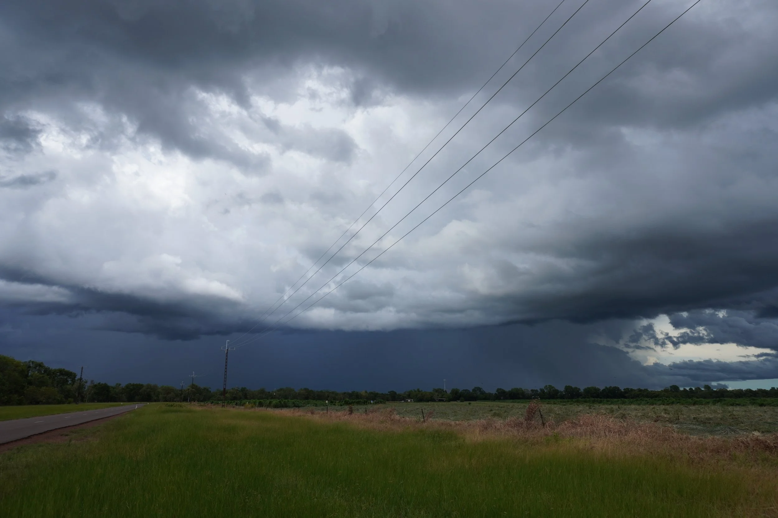
As of January 25, 2025, the Northern Territory has officially passed its latest monsoon season, marking one of the latest monsoon onsets in recorded history. Typically, the monsoon arrives in late December, bringing much-needed relief from the intense heat and humidity of the Top End. However, this year, residents experienced an extended build-up season, with conditions only shifting at the start of February.
The monsoon is defined by the sustained reversal of winds over Darwin, in a westerly direction. In recent weeks, monsoon troughs developed over both the Indian Ocean and off the coast of North Queensland, bringing widespread rain, yet these troughs failed to extend into the NT. Instead, they remained centred around low-pressure systems elsewhere in northern Australia. As a result, the NT continued to experience hot, humid and drier conditions, far later than usual.
An active phase of the Madden Julian Oscillation (MJO) is often associated with monsoon bursts and tropical low or cyclone development. Unfortunately, the monsoon has largely stayed away from the NT but has affected northern Queensland hard.
Northern Hub Regional Soil Coordinator, Emily Hinds, said: “In many pastoral regions of Western Australia, rainfall has been above the long-term median, ensuring strong pasture growth. However, areas like Darwin, Katherine, and Tennant Creek remain below average for rainfall totals, raising some concerns for water availability and long-term agricultural planning.”
“Dependent on how the remainder of the wet season goes, and the movement of low-pressure troughs in the coming week, the pastoral industry in some areas of the Territory may need to address herd and pasture management challenges, in terms of balancing forage budgets and stocking rates,” she said.
Liz Bird from Central Australia Land Management Association noted that while the region is "happy to take whatever rain comes, the big falls are really important for water storage and aquifer recharging." She further emphasised that "while big rains are always welcome, and give the land and people a reprieve, a higher rainfall season increases the grass fuel loading for the following fire season."
Another consideration is the impact on cyclone activity. Monsoon troughs often contribute to cyclone development, and with fewer bursts occurring this season, the likelihood of cyclone formation has been reduced. While this may mean fewer destructive storms, it also results in less systems moving inland, which often deliver significant rainfall amounts for our central regions.
In Katherine, cattle farmer Jeremy Trembath highlighted the complexities of rainfall impact on agriculture. "Big rainfall seasons are not always great for our grass growth. We often benefit from a median, or slightly below median rainfall year," he said, explaining that nitrogen availability is a major limiting factor in the northern half of the country. Trembath added, "We make sure that we have plenty of ground cover so that the rain is captured when it falls, whatever the amount. We are always working toward building soil organic matter and therefore, improved structure and water storage in our soils."
Emily Hinds, added: “Looking ahead on the forecast, rainfall activity is expected to increase later this week, as a low-pressure system moves across the base of the Top End. Farmers, graziers, and land managers are encouraged to monitor weather forecasts closely.”
“The later arrival of the monsoon underscores the need for adaptive agricultural practices, better water and soil conservation efforts, and continued improvements in meteorological forecasting to support the NT’s climate-dependent industries,” she said.